New mapping technology developed by Charles Darwin University (CDU) will help prevent and limit the spread of bushfires in the Northern Territory.
The new technology makes high-resolution mapping of burnt areas available through the Northern Australia Fire Information (NAFI) app. CDU partnered with Gaia Resources to develop the app and associated technologies that build on NAFI's capabilities.
This has been developed under the Northern Territory risk reduction program which is jointly funded by the Australian and Northern Territory governments.
“This new mapping technology will assist our hardworking Bushfire NT staff and volunteers along with rural landholders to identify fires and assist in mitigation efforts." - Northern Territory Minister for Environment, the Hon Eva Lawler MLA
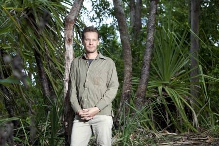
Charles Darwin University Fire Information Researcher Rohan Fisher said the maps are updated every few days and cover 21,000 square kilometres across Darwin, Coomalie, Wagait, Litchfield and Dundee.
The fire mapping app is free and can be downloaded for Android and Apple devices by searching for ‘NAFI’. The app can also be accessed on the NAFI website. To find out more information about NAFI and the app, go to the Savanna Fire Mapping website.
If you have an innovative idea that you would like to commercialise, the Territory Government can provide advice and support. Find out more on the Business Innovation Program.
